Brunstock Farmhouse
Introduction
The photograph on this page of Brunstock Farmhouse by Rose and Trev Clough as part of the Geograph project.
The Geograph project started in 2005 with the aim of publishing, organising and preserving representative images for every square kilometre of Great Britain, Ireland and the Isle of Man.

There are currently over 7.5m images from over 14,400 individuals and you can help contribute to the project by visiting https://www.geograph.org.uk
Brunstock Farmhouse
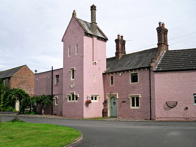
Image: © Rose and Trev Clough Taken: 17 Jul 2016
Built in the late 1820s, with additions dated 1845. For architectural details, see http://www.imagesofengland.org.uk/details/default.aspx?id=77631 .
Images are licensed for reuse under creativecommons.org/licenses/by-sa/2.0
Image Location
Latitude
54.926765
Longitude
-2.911089