A449 Bastonford
Introduction
The photograph on this page of A449 Bastonford by Clint Mann as part of the Geograph project.
The Geograph project started in 2005 with the aim of publishing, organising and preserving representative images for every square kilometre of Great Britain, Ireland and the Isle of Man.

There are currently over 7.5m images from over 14,400 individuals and you can help contribute to the project by visiting https://www.geograph.org.uk
A449 Bastonford
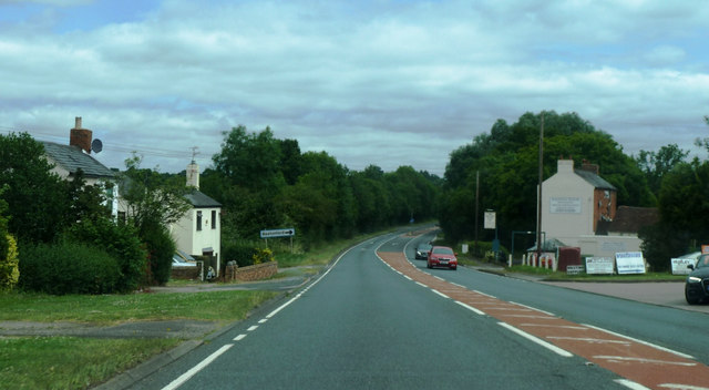
Image: © Clint Mann Taken: 18 Jul 2016
Halfway House public house pictured at mid-right at junction of road into Bastonford
Images are licensed for reuse under creativecommons.org/licenses/by-sa/2.0
Image Location
Latitude
52.152452
Longitude
-2.278532