Former pub, Roman Way, N7
Introduction
The photograph on this page of Former pub, Roman Way, N7 by Paul Harrop as part of the Geograph project.
The Geograph project started in 2005 with the aim of publishing, organising and preserving representative images for every square kilometre of Great Britain, Ireland and the Isle of Man.

There are currently over 7.5m images from over 14,400 individuals and you can help contribute to the project by visiting https://www.geograph.org.uk
Former pub, Roman Way, N7
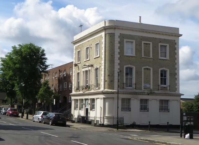
Image: © Paul Harrop Taken: 24 Jul 2016
At the junction with Wheelwright Street, the former City of Rome pub, also known as the Jug o' Punch, is now in residential use.
Images are licensed for reuse under creativecommons.org/licenses/by-sa/2.0
Image Location
Latitude
51.54432
Longitude
-0.114153