Dwelling Near Tywarnhayle Mine
Introduction
The photograph on this page of Dwelling Near Tywarnhayle Mine by Chris Andrews as part of the Geograph project.
The Geograph project started in 2005 with the aim of publishing, organising and preserving representative images for every square kilometre of Great Britain, Ireland and the Isle of Man.

There are currently over 7.5m images from over 14,400 individuals and you can help contribute to the project by visiting https://www.geograph.org.uk
Dwelling Near Tywarnhayle Mine
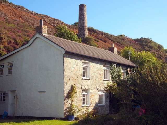
Image: © Chris Andrews Taken: 19 Jul 2016
The chimney in the background was associated with the crusher house of the mine. I'm not sure if the house was also associated with the mine.
Images are licensed for reuse under creativecommons.org/licenses/by-sa/2.0
Image Location
Latitude
50.280506
Longitude
-5.225321