The Red House
Introduction
The photograph on this page of The Red House by Bob Harvey as part of the Geograph project.
The Geograph project started in 2005 with the aim of publishing, organising and preserving representative images for every square kilometre of Great Britain, Ireland and the Isle of Man.

There are currently over 7.5m images from over 14,400 individuals and you can help contribute to the project by visiting https://www.geograph.org.uk
The Red House
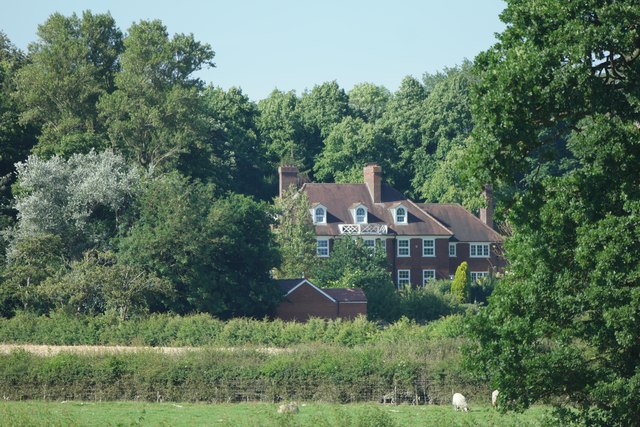
Image: © Bob Harvey Taken: 19 Jul 2016
The Red House in Church Lane Nunthorpe is not, surprisingly, a listed building but it is a very fine building. See Image for the context
Images are licensed for reuse under creativecommons.org/licenses/by-sa/2.0
Image Location
Latitude
54.519305
Longitude
-1.164216