Throop: footpath K26 to Willow Mead
Introduction
The photograph on this page of Throop: footpath K26 to Willow Mead by Chris Downer as part of the Geograph project.
The Geograph project started in 2005 with the aim of publishing, organising and preserving representative images for every square kilometre of Great Britain, Ireland and the Isle of Man.

There are currently over 7.5m images from over 14,400 individuals and you can help contribute to the project by visiting https://www.geograph.org.uk
Throop: footpath K26 to Willow Mead
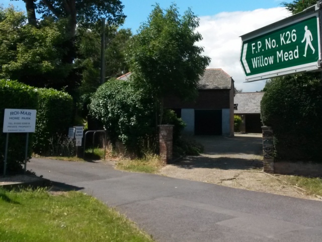
Image: © Chris Downer Taken: 16 Jul 2016
The sign helpfully points us towards the start of this little public footpath, which saves walking along Throop Road and left into Broadway Lane. See Image for the next view on the path, and links to further photos along the route.
Images are licensed for reuse under creativecommons.org/licenses/by-sa/2.0
Image Location
Latitude
50.76304
Longitude
-1.846535