West Howe: looking down Deepdene Lane
Introduction
The photograph on this page of West Howe: looking down Deepdene Lane by Chris Downer as part of the Geograph project.
The Geograph project started in 2005 with the aim of publishing, organising and preserving representative images for every square kilometre of Great Britain, Ireland and the Isle of Man.

There are currently over 7.5m images from over 14,400 individuals and you can help contribute to the project by visiting https://www.geograph.org.uk
West Howe: looking down Deepdene Lane
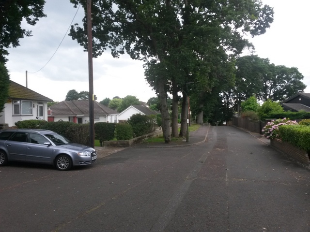
Image: © Chris Downer Taken: 17 Jul 2016
Deepdene Lane is a minor no-through road which also forms public footpath U42 to Ringwood Road, just behind us. See Image for the view up the lane from near the bottom, and Image for the next view on behind us - each with links to further photos along the route.
Images are licensed for reuse under creativecommons.org/licenses/by-sa/2.0
Image Location
Latitude
50.763477
Longitude
-1.925084