West Howe: Oakmead Gardens from Poole Lane
Introduction
The photograph on this page of West Howe: Oakmead Gardens from Poole Lane by Chris Downer as part of the Geograph project.
The Geograph project started in 2005 with the aim of publishing, organising and preserving representative images for every square kilometre of Great Britain, Ireland and the Isle of Man.

There are currently over 7.5m images from over 14,400 individuals and you can help contribute to the project by visiting https://www.geograph.org.uk
West Howe: Oakmead Gardens from Poole Lane
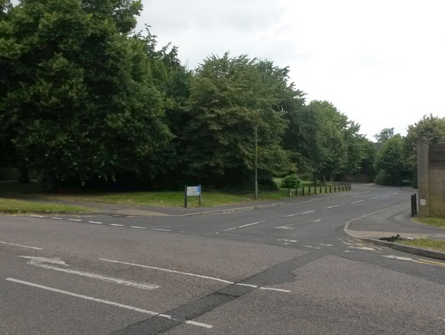
Image: © Chris Downer Taken: 17 Jul 2016
This is a small, modern housing development on a previously vacant plot. The left-hand edge of the plot had a public right of way, footpath U10, running along it, leading to Ringwood Road (see Image]). But with the development of Oakmead Gardens, a paved, shared foot/cycle path was installed too. The course of the public footpath on modern right of way maps is now the left-hand pavement of Oakmead Gardens, pictured, plus the meandering shared path. See Image for the next view along Oakmead Gardens and links to further pictures along the right of way.
Images are licensed for reuse under creativecommons.org/licenses/by-sa/2.0
Image Location
Latitude
50.760596
Longitude
-1.921402