Dry ford on Nant Cwm-crach
Introduction
The photograph on this page of Dry ford on Nant Cwm-crach by M J Roscoe as part of the Geograph project.
The Geograph project started in 2005 with the aim of publishing, organising and preserving representative images for every square kilometre of Great Britain, Ireland and the Isle of Man.

There are currently over 7.5m images from over 14,400 individuals and you can help contribute to the project by visiting https://www.geograph.org.uk
Dry ford on Nant Cwm-crach
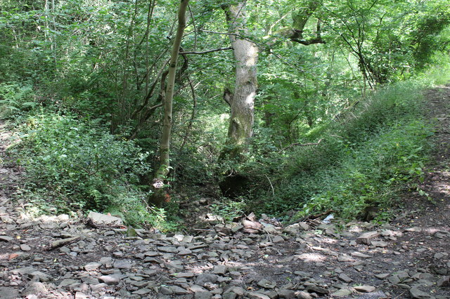
Image: © M J Roscoe Taken: 20 Jul 2016
Looking downstream; the stream bed in Cwm Crach is dry. The edge of a track leading from the ford up to a minor road is on the right; the other side of the ford leads up to a field.
Images are licensed for reuse under creativecommons.org/licenses/by-sa/2.0
Image Location
Latitude
51.691755
Longitude
-3.196099