Coal plate, St. James's Avenue, Brighton
Introduction
The photograph on this page of Coal plate, St. James's Avenue, Brighton by Robin Webster as part of the Geograph project.
The Geograph project started in 2005 with the aim of publishing, organising and preserving representative images for every square kilometre of Great Britain, Ireland and the Isle of Man.

There are currently over 7.5m images from over 14,400 individuals and you can help contribute to the project by visiting https://www.geograph.org.uk
Coal plate, St. James's Avenue, Brighton
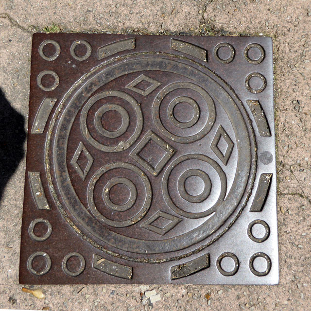
Image: © Robin Webster Taken: 19 Jul 2016
An unlettered plate set in a square frame. Although not alone in this area, I can't recall noticing a square frame anywhere else.
Images are licensed for reuse under creativecommons.org/licenses/by-sa/2.0
Image Location
Latitude
50.821498
Longitude
-0.130334