B4316 junctions, Saundersfoot
Introduction
The photograph on this page of B4316 junctions, Saundersfoot by Jaggery as part of the Geograph project.
The Geograph project started in 2005 with the aim of publishing, organising and preserving representative images for every square kilometre of Great Britain, Ireland and the Isle of Man.

There are currently over 7.5m images from over 14,400 individuals and you can help contribute to the project by visiting https://www.geograph.org.uk
B4316 junctions, Saundersfoot
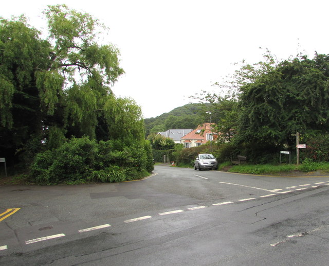
Image: © Jaggery Taken: 16 Jul 2016
On the east side of the B4316. The Glen http://www.geograph.org.uk/photo/5044744 is on the right, Pen y graig http://www.geograph.org.uk/photo/5044814 on the left.
Images are licensed for reuse under creativecommons.org/licenses/by-sa/2.0
Image Location
Latitude
51.707664
Longitude
-4.698636