Strouden: Yeomans Road roundabout
Introduction
The photograph on this page of Strouden: Yeomans Road roundabout by Chris Downer as part of the Geograph project.
The Geograph project started in 2005 with the aim of publishing, organising and preserving representative images for every square kilometre of Great Britain, Ireland and the Isle of Man.

There are currently over 7.5m images from over 14,400 individuals and you can help contribute to the project by visiting https://www.geograph.org.uk
Strouden: Yeomans Road roundabout
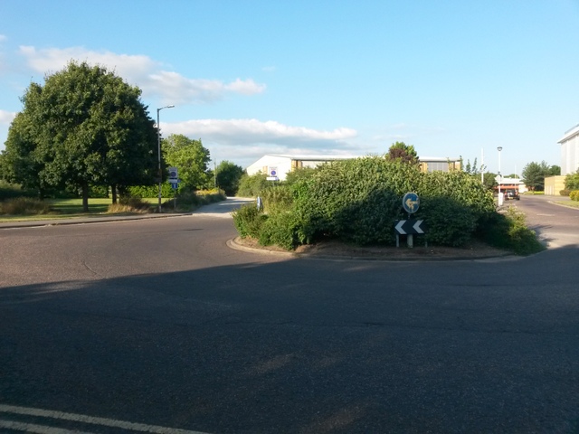
Image: © Chris Downer Taken: 20 Jul 2016
Yeomans Road is one of the main routes to the vast 1980s Muscliff housing estate, and here it reaches a roundabout with the estate to the left. An industrial estate is to the right, behind the Castlepoint shopping centre. Meanwhile, Yeomans Road continues ahead as a gravel road, and a public right of way - a byway open to all traffic (or B.O.A.T.) number K21 - leading to Throop Road. See Image for the view along the gravel road from the other side of the roundabout, and links to further photos on the route.
Images are licensed for reuse under creativecommons.org/licenses/by-sa/2.0
Image Location
Latitude
50.754403
Longitude
-1.843728