Thwaite
Introduction
The photograph on this page of Thwaite by Chris Heaton as part of the Geograph project.
The Geograph project started in 2005 with the aim of publishing, organising and preserving representative images for every square kilometre of Great Britain, Ireland and the Isle of Man.

There are currently over 7.5m images from over 14,400 individuals and you can help contribute to the project by visiting https://www.geograph.org.uk
Thwaite
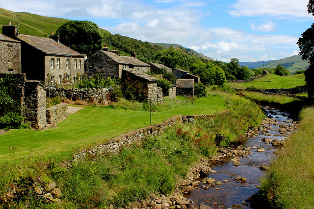
Image: © Chris Heaton Taken: 18 Jul 2016
Attractive small village in Swaledale. The name gives away its Norse origins - meaning "Paddock or Clearing" The photograph shows the watercourse of Thwaite Beck that runs for a further mile eastwards before joining the Swale.
Images are licensed for reuse under creativecommons.org/licenses/by-sa/2.0
Image Location
Latitude
54.378822
Longitude
-2.167775