Drive to Model Farm Cottages
Introduction
The photograph on this page of Drive to Model Farm Cottages by Simon Carey as part of the Geograph project.
The Geograph project started in 2005 with the aim of publishing, organising and preserving representative images for every square kilometre of Great Britain, Ireland and the Isle of Man.

There are currently over 7.5m images from over 14,400 individuals and you can help contribute to the project by visiting https://www.geograph.org.uk
Drive to Model Farm Cottages
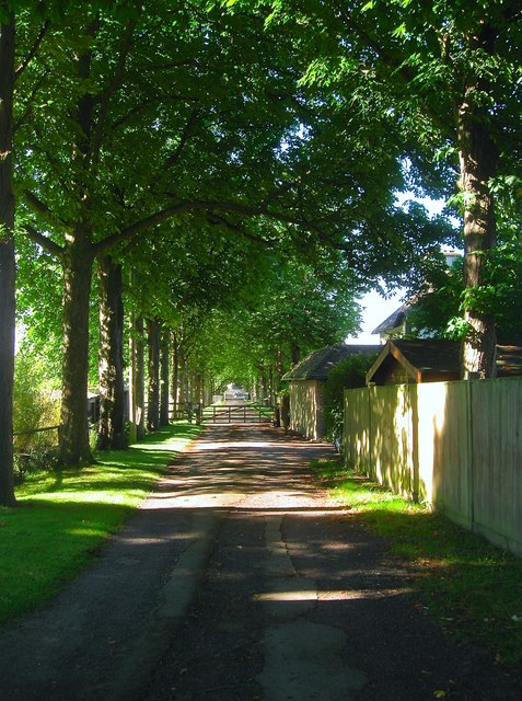
Image: © Simon Carey Taken: 19 Jul 2016
Looking southwards along the drive which connects the cottages and adjacent stables to the A272 where another continues southwards to Park Farm, see Image The drive was laid out sometime during the interwar years.
Images are licensed for reuse under creativecommons.org/licenses/by-sa/2.0
Image Location
Latitude
50.991859
Longitude
-0.33727