Fosse Way
Introduction
The photograph on this page of Fosse Way by Tim Glover as part of the Geograph project.
The Geograph project started in 2005 with the aim of publishing, organising and preserving representative images for every square kilometre of Great Britain, Ireland and the Isle of Man.

There are currently over 7.5m images from over 14,400 individuals and you can help contribute to the project by visiting https://www.geograph.org.uk
Fosse Way
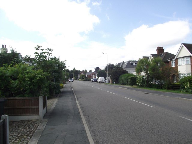
Image: © Tim Glover Taken: 18 Jul 2016
Built on the line of the Roman Road; was once the A46 before Syston was by-passed.
Images are licensed for reuse under creativecommons.org/licenses/by-sa/2.0
Image Location
Latitude
52.692374
Longitude
-1.089288