Crop Field near Common Farm
Introduction
The photograph on this page of Crop Field near Common Farm by Jonathan Clitheroe as part of the Geograph project.
The Geograph project started in 2005 with the aim of publishing, organising and preserving representative images for every square kilometre of Great Britain, Ireland and the Isle of Man.

There are currently over 7.5m images from over 14,400 individuals and you can help contribute to the project by visiting https://www.geograph.org.uk
Crop Field near Common Farm
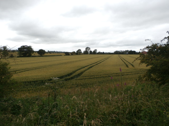
Image: © Jonathan Clitheroe Taken: 16 Jul 2016
Pictured from a slipway path which allows access on foot to the disused mineral line from Todwick Road. Common Farm itself is partially visible on the right of picture.
Images are licensed for reuse under creativecommons.org/licenses/by-sa/2.0
Image Location
Latitude
53.371875
Longitude
-1.2423