Military training land
Introduction
The photograph on this page of Military training land by Robin Webster as part of the Geograph project.
The Geograph project started in 2005 with the aim of publishing, organising and preserving representative images for every square kilometre of Great Britain, Ireland and the Isle of Man.

There are currently over 7.5m images from over 14,400 individuals and you can help contribute to the project by visiting https://www.geograph.org.uk
Military training land
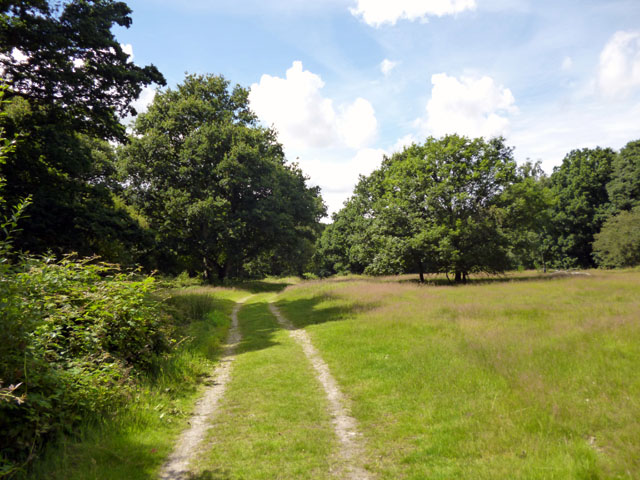
Image: © Robin Webster Taken: 16 Jul 2016
A public footpath runs through this area, but just about here it is mapped as veering left away from this track. This was missed, as I was too distracted by wondering where the blood on my arm had come from (probably brambles).
Images are licensed for reuse under creativecommons.org/licenses/by-sa/2.0
Image Location
Latitude
51.853944
Longitude
0.871733