Wallisdown: footpath U17 from Canford Road
Introduction
The photograph on this page of Wallisdown: footpath U17 from Canford Road by Chris Downer as part of the Geograph project.
The Geograph project started in 2005 with the aim of publishing, organising and preserving representative images for every square kilometre of Great Britain, Ireland and the Isle of Man.

There are currently over 7.5m images from over 14,400 individuals and you can help contribute to the project by visiting https://www.geograph.org.uk
Wallisdown: footpath U17 from Canford Road
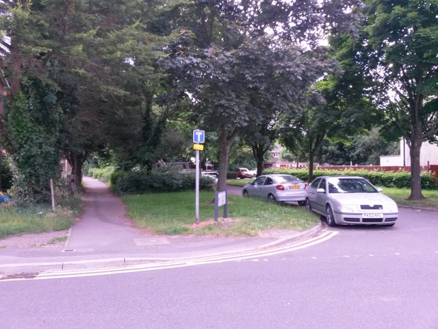
Image: © Chris Downer Taken: 12 Jul 2016
Looking across the carriageway of Canford Road as a public footpath heads westward from it. The little road alongside is an offshoot of Canford Road and the public footpath was almost certainly established before the road was built - the path today basically forms the pavement alongside the road, for this eastern part. See Image for the next view along the footpath.
Images are licensed for reuse under creativecommons.org/licenses/by-sa/2.0
Image Location
Latitude
50.748
Longitude
-1.91136