Wallisdown: footpath U16 passes Walliscott Road
Introduction
The photograph on this page of Wallisdown: footpath U16 passes Walliscott Road by Chris Downer as part of the Geograph project.
The Geograph project started in 2005 with the aim of publishing, organising and preserving representative images for every square kilometre of Great Britain, Ireland and the Isle of Man.

There are currently over 7.5m images from over 14,400 individuals and you can help contribute to the project by visiting https://www.geograph.org.uk
Wallisdown: footpath U16 passes Walliscott Road
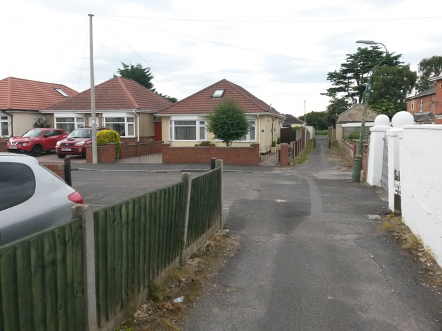
Image: © Chris Downer Taken: 12 Jul 2016
This public footpath is long and straight, running from Canford Avenue to Bascott Road. It has several stretches which are access to rear driveways, and even some parts which are the main, front access to houses that have been built in a rather higgledy-piggledy arrangement between the various roads hereabouts. Here, we see it as it passes the dead end of Walliscott Road - unusually, the numbering starts at the dead end, with number 2 opposite and 1 on our left. See Image for the view towards us from the two posts, and Image for the next view on the path behind us - each with links to further photos along that route.
Images are licensed for reuse under creativecommons.org/licenses/by-sa/2.0
Image Location
Latitude
50.749079
Longitude
-1.911783