Directions and distances sign, Gloucester Road, Cheltenham
Introduction
The photograph on this page of Directions and distances sign, Gloucester Road, Cheltenham by Jaggery as part of the Geograph project.
The Geograph project started in 2005 with the aim of publishing, organising and preserving representative images for every square kilometre of Great Britain, Ireland and the Isle of Man.

There are currently over 7.5m images from over 14,400 individuals and you can help contribute to the project by visiting https://www.geograph.org.uk
Directions and distances sign, Gloucester Road, Cheltenham
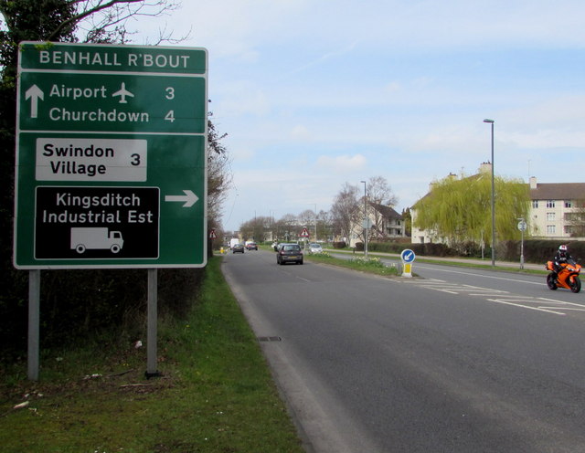
Image: © Jaggery Taken: 3 Apr 2016
Facing westbound vehicles on the A40 Gloucester Road, 250 metres from Benhall Roundabout.
Images are licensed for reuse under creativecommons.org/licenses/by-sa/2.0
Image Location
Latitude
51.896581
Longitude
-2.115052