Charminster: access to Luckham Close from footpath M07
Introduction
The photograph on this page of Charminster: access to Luckham Close from footpath M07 by Chris Downer as part of the Geograph project.
The Geograph project started in 2005 with the aim of publishing, organising and preserving representative images for every square kilometre of Great Britain, Ireland and the Isle of Man.

There are currently over 7.5m images from over 14,400 individuals and you can help contribute to the project by visiting https://www.geograph.org.uk
Charminster: access to Luckham Close from footpath M07
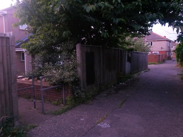
Image: © Chris Downer Taken: 11 Jul 2016
Looking along this public footpath through the Luckham estate, towards Charminster Place. To the left is one of two similar pathways, to each corner of the Luckham Close dead end, which are not officially designated as public rights of way. See Image for the next view along the path ahead, and Image for the next view behind us - each with links to further pictures on the route.
Images are licensed for reuse under creativecommons.org/licenses/by-sa/2.0
Image Location
Latitude
50.751907
Longitude
-1.860605