Windbreak on Carse of Gowrie (Sharps Wood)
Introduction
The photograph on this page of Windbreak on Carse of Gowrie (Sharps Wood) by Stanley Howe as part of the Geograph project.
The Geograph project started in 2005 with the aim of publishing, organising and preserving representative images for every square kilometre of Great Britain, Ireland and the Isle of Man.

There are currently over 7.5m images from over 14,400 individuals and you can help contribute to the project by visiting https://www.geograph.org.uk
Windbreak on Carse of Gowrie (Sharps Wood)
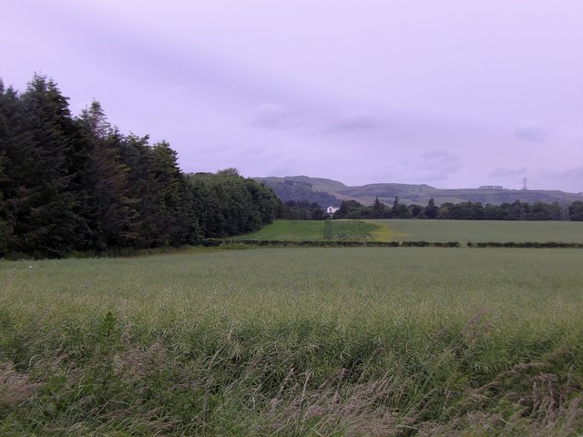
Image: © Stanley Howe Taken: 28 Jun 2016
Seen from the minor road between Errol and St Madoes in late June 2016 (cf. Image in early June 2010). The white house in the centre background is Ardgaith.
Images are licensed for reuse under creativecommons.org/licenses/by-sa/2.0
Image Location
Latitude
56.383651
Longitude
-3.263815