Side passage, Bradfield
Introduction
The photograph on this page of Side passage, Bradfield by Andrew Smith as part of the Geograph project.
The Geograph project started in 2005 with the aim of publishing, organising and preserving representative images for every square kilometre of Great Britain, Ireland and the Isle of Man.

There are currently over 7.5m images from over 14,400 individuals and you can help contribute to the project by visiting https://www.geograph.org.uk
Side passage, Bradfield
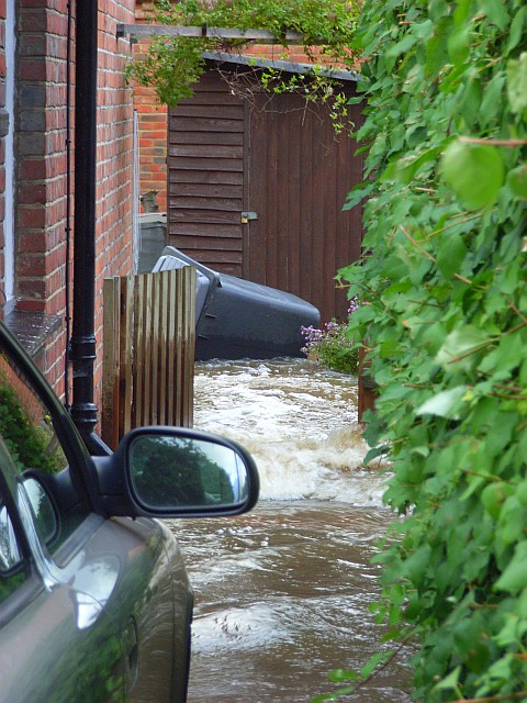
Image: © Andrew Smith Taken: 20 Jul 2007
Acting as a channel of the River Pang following a deluge earlier in the day. The tidemark on the gate shows the height that the water had reached during the flash flooding that followed the downpour (which had ceased about six hours earlier).
Images are licensed for reuse under creativecommons.org/licenses/by-sa/2.0
Image Location
Latitude
51.450083
Longitude
-1.133639