Littledown: subway to Queen?s Park
Introduction
The photograph on this page of Littledown: subway to Queen?s Park by Chris Downer as part of the Geograph project.
The Geograph project started in 2005 with the aim of publishing, organising and preserving representative images for every square kilometre of Great Britain, Ireland and the Isle of Man.

There are currently over 7.5m images from over 14,400 individuals and you can help contribute to the project by visiting https://www.geograph.org.uk
Littledown: subway to Queen?s Park
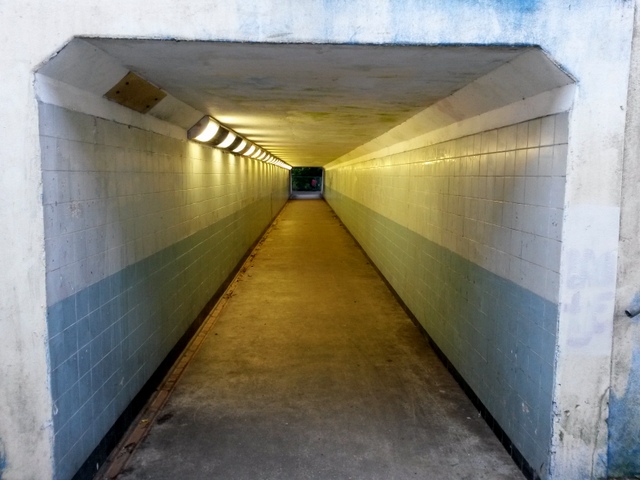
Image: © Chris Downer Taken: 13 Jul 2016
Looking through this subway from Littledown Drive to Queen's Park, which forms public footpath K27 along with the ramped approach to our left. The stepped approach, to our right, is footpath K28. (The approaches on the far side do not form part of the public footpath route because the land drops to the same level as the tunnel - so in effect there are no distinct approaches.) See: Image for the emergence onto Queen's Park ahead; Image for the view down the ramp to here; and Image for the view down the steps.
Images are licensed for reuse under creativecommons.org/licenses/by-sa/2.0
Image Location
Latitude
50.741268
Longitude
-1.838811