The Station Brae Roundabout
Introduction
The photograph on this page of The Station Brae Roundabout by Walter Baxter as part of the Geograph project.
The Geograph project started in 2005 with the aim of publishing, organising and preserving representative images for every square kilometre of Great Britain, Ireland and the Isle of Man.

There are currently over 7.5m images from over 14,400 individuals and you can help contribute to the project by visiting https://www.geograph.org.uk
The Station Brae Roundabout
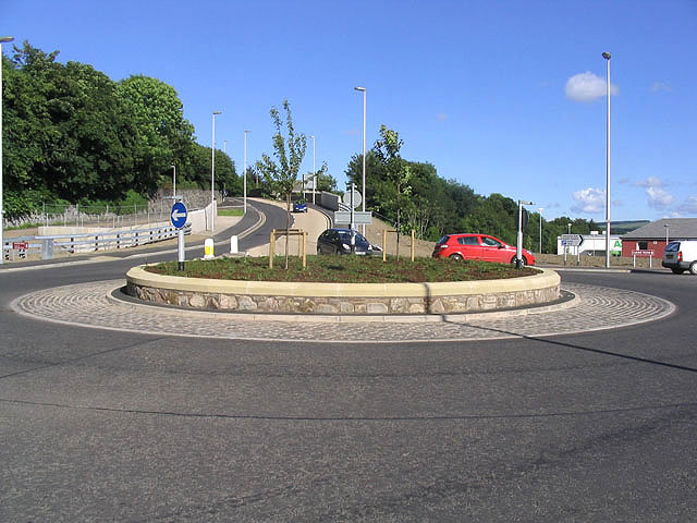
Image: © Walter Baxter Taken: 9 Jul 2007
This roundabout forms part of the Galashiels Inner Relief Road Scheme 1 and was opened to the public in November 2006. The Station Brae link road (where the far away car is) from the roundabout to Melrose Road was officially opened on 23rd April 2007.
Images are licensed for reuse under creativecommons.org/licenses/by-sa/2.0
Image Location
Latitude
55.616754
Longitude
-2.80366