Building site, Conyngham Lane
Introduction
The photograph on this page of Building site, Conyngham Lane by John Baker as part of the Geograph project.
The Geograph project started in 2005 with the aim of publishing, organising and preserving representative images for every square kilometre of Great Britain, Ireland and the Isle of Man.

There are currently over 7.5m images from over 14,400 individuals and you can help contribute to the project by visiting https://www.geograph.org.uk
Building site, Conyngham Lane
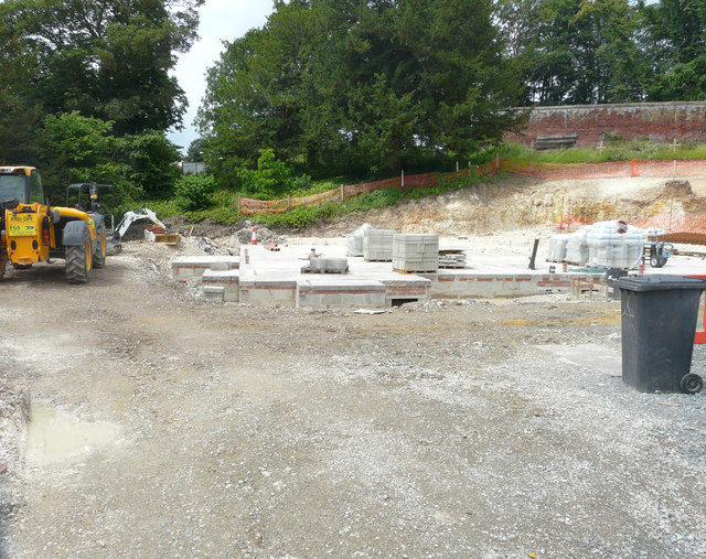
Image: © John Baker Taken: 26 Jun 2016
Planning permission has been granted by Canterbury City Council under application number CA//15/02421 for a "proposed replacement dwelling and detached garage". The former house was called Beechmount.
Images are licensed for reuse under creativecommons.org/licenses/by-sa/2.0
Image Location
Latitude
51.248321
Longitude
1.123323