Moordown: a Rentokil parking space in Priory View Place
Introduction
The photograph on this page of Moordown: a Rentokil parking space in Priory View Place by Chris Downer as part of the Geograph project.
The Geograph project started in 2005 with the aim of publishing, organising and preserving representative images for every square kilometre of Great Britain, Ireland and the Isle of Man.

There are currently over 7.5m images from over 14,400 individuals and you can help contribute to the project by visiting https://www.geograph.org.uk
Moordown: a Rentokil parking space in Priory View Place
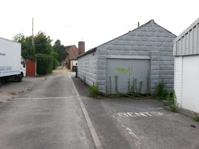
Image: © Chris Downer Taken: 10 Jul 2016
Priory View Place is essentially a rear access lane to shops on Castle Lane West, between Priory View Road and Redbreast Road North, but it does have a couple of residential properties along it. It also forms public footpath M12. Here, we look westward along the lane, past the back yard of a premises occupied by several businesses, among them Rentokil. See Image for the next view along the lane ahead, and Image for the next view behind us, each with links to further views along the route.
Images are licensed for reuse under creativecommons.org/licenses/by-sa/2.0
Image Location
Latitude
50.75776
Longitude
-1.867109