Moordown: footpath M13 from Nursery Road
Introduction
The photograph on this page of Moordown: footpath M13 from Nursery Road by Chris Downer as part of the Geograph project.
The Geograph project started in 2005 with the aim of publishing, organising and preserving representative images for every square kilometre of Great Britain, Ireland and the Isle of Man.

There are currently over 7.5m images from over 14,400 individuals and you can help contribute to the project by visiting https://www.geograph.org.uk
Moordown: footpath M13 from Nursery Road
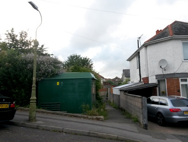
Image: © Chris Downer Taken: 10 Jul 2016
Looking along this public footpath linking two parallel roads, Nursery and Redbreast. See Image for the view towards us from the railings just visible, and Image for the onward view over the railings towards Redbreast Road.
Images are licensed for reuse under creativecommons.org/licenses/by-sa/2.0
Image Location
Latitude
50.755604
Longitude
-1.869241