West Howe: footpath E16 from Deacon Road
Introduction
The photograph on this page of West Howe: footpath E16 from Deacon Road by Chris Downer as part of the Geograph project.
The Geograph project started in 2005 with the aim of publishing, organising and preserving representative images for every square kilometre of Great Britain, Ireland and the Isle of Man.

There are currently over 7.5m images from over 14,400 individuals and you can help contribute to the project by visiting https://www.geograph.org.uk
West Howe: footpath E16 from Deacon Road
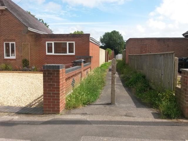
Image: © Chris Downer Taken: 10 Jul 2016
The public footpath ahead leads to Woodfield Road, and further paths continue the more or less straight course to Youngs Road and Poole Lane. See Image for the next view of the path ahead, and further views all along the route to Poole Lane.
Images are licensed for reuse under creativecommons.org/licenses/by-sa/2.0
Image Location


Leaflet Map data © OpenStreetMap
Latitude
50.764818
Longitude
-1.91388