Field between the A370 and Wick Lane
Introduction
The photograph on this page of Field between the A370 and Wick Lane by Ant Basterfield as part of the Geograph project.
The Geograph project started in 2005 with the aim of publishing, organising and preserving representative images for every square kilometre of Great Britain, Ireland and the Isle of Man.

There are currently over 7.5m images from over 14,400 individuals and you can help contribute to the project by visiting https://www.geograph.org.uk
Field between the A370 and Wick Lane
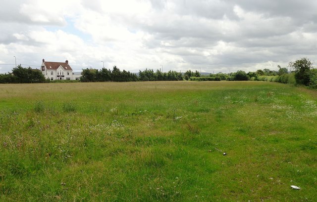
Image: © Ant Basterfield Taken: 10 Jul 2016
Over this field which may well be cut later in the year for haylage we can see what was once a public house called the Aspen Tree though now it is an Indian restaurant
Images are licensed for reuse under creativecommons.org/licenses/by-sa/2.0
Image Location
Latitude
51.371099
Longitude
-2.870661