West Howe: the dead end of Zamek Close
Introduction
The photograph on this page of West Howe: the dead end of Zamek Close by Chris Downer as part of the Geograph project.
The Geograph project started in 2005 with the aim of publishing, organising and preserving representative images for every square kilometre of Great Britain, Ireland and the Isle of Man.

There are currently over 7.5m images from over 14,400 individuals and you can help contribute to the project by visiting https://www.geograph.org.uk
West Howe: the dead end of Zamek Close
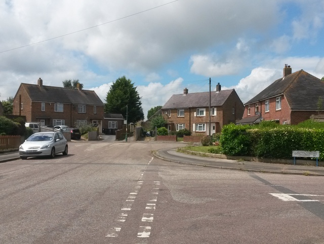
Image: © Chris Downer Taken: 10 Jul 2016
A view of the turning circle of Image, with Deacon Road on the right. Right at the head of the dead end, we can see public footpath E19 emerging from between the two pairs of semi-detached houses. See Image] for a closer view of the footpath, with links to further photos on the route.
Images are licensed for reuse under creativecommons.org/licenses/by-sa/2.0
Image Location
Latitude
50.764549
Longitude
-1.915015