Inner relief road
Introduction
The photograph on this page of Inner relief road by Michael Dibb as part of the Geograph project.
The Geograph project started in 2005 with the aim of publishing, organising and preserving representative images for every square kilometre of Great Britain, Ireland and the Isle of Man.

There are currently over 7.5m images from over 14,400 individuals and you can help contribute to the project by visiting https://www.geograph.org.uk
Inner relief road
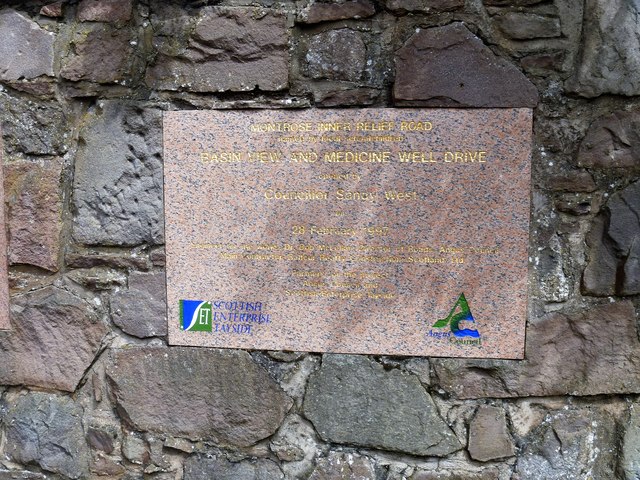
Image: © Michael Dibb Taken: 13 Jun 2016
A plaque inset into the wall commemorating the opening of the inner relief road in 1997. Previously the traffic would have proceeded along Bridge Street and through the town via the main shopping street (High Street), Murray Street and North Esk Road.
Images are licensed for reuse under creativecommons.org/licenses/by-sa/2.0
Image Location
Latitude
56.707939
Longitude
-2.47381