Min-y-ffordd, north end of Pant-y-dwr
Introduction
The photograph on this page of Min-y-ffordd, north end of Pant-y-dwr by Christine Johnstone as part of the Geograph project.
The Geograph project started in 2005 with the aim of publishing, organising and preserving representative images for every square kilometre of Great Britain, Ireland and the Isle of Man.

There are currently over 7.5m images from over 14,400 individuals and you can help contribute to the project by visiting https://www.geograph.org.uk
Min-y-ffordd, north end of Pant-y-dwr
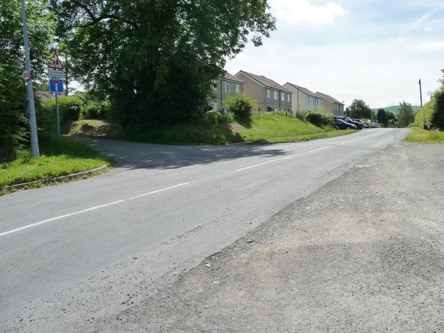
Image: © Christine Johnstone Taken: 23 Jun 2016
Looking south along the B4518. Until it closed in 1962 the Mid-Wales Railway ran in a cutting here and the road dog-legged across it on a bridge. Since the closure, the cutting has been filled in and the road straightened as shown in this view. [The photographer had thought that there was a level crossing here, and thanks Martin Tester for his clarification].
Images are licensed for reuse under creativecommons.org/licenses/by-sa/2.0
Image Location
Latitude
52.363946
Longitude
-3.494834