Radburn Road
Introduction
The photograph on this page of Radburn Road by Alan Murray-Rust as part of the Geograph project.
The Geograph project started in 2005 with the aim of publishing, organising and preserving representative images for every square kilometre of Great Britain, Ireland and the Isle of Man.

There are currently over 7.5m images from over 14,400 individuals and you can help contribute to the project by visiting https://www.geograph.org.uk
Radburn Road
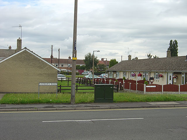
Image: © Alan Murray-Rust Taken: 22 Jul 2007
The layout of this part of the development suggests that the name was given in recognition of the principles laid down in Radburn, New Jersey to create residential areas with segregated vehicle and pedestrian routes. Radburn is the spine route through the development. In practice, the estate design really only pays lip service to the principle, as there are many homes facing onto roads
Images are licensed for reuse under creativecommons.org/licenses/by-sa/2.0
Image Location
Latitude
53.469923
Longitude
-1.073636