Dove Street, Bristol
Introduction
The photograph on this page of Dove Street, Bristol by Derek Harper as part of the Geograph project.
The Geograph project started in 2005 with the aim of publishing, organising and preserving representative images for every square kilometre of Great Britain, Ireland and the Isle of Man.

There are currently over 7.5m images from over 14,400 individuals and you can help contribute to the project by visiting https://www.geograph.org.uk
Dove Street, Bristol
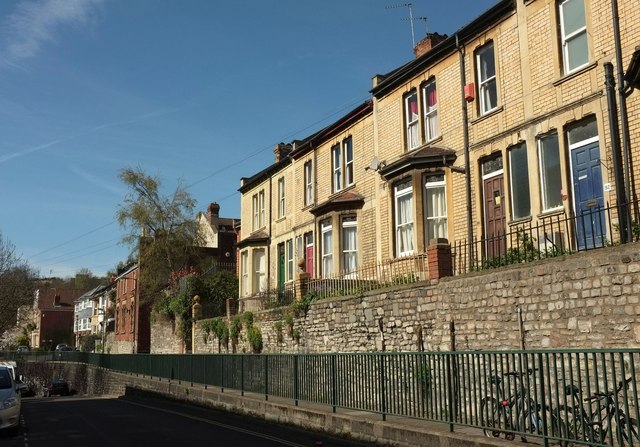
Image: © Derek Harper Taken: 20 Apr 2016
Though elevated, the views from this terrace are rather blocked by having Carolina House Image] opposite. Ahead, Dove Street begins to drop and takes a bend through almost 180° around the block of flats and a park.
Images are licensed for reuse under creativecommons.org/licenses/by-sa/2.0
Image Location
Latitude
51.461392
Longitude
-2.595001