Winton: bridleway N03 alongside the footbridge
Introduction
The photograph on this page of Winton: bridleway N03 alongside the footbridge by Chris Downer as part of the Geograph project.
The Geograph project started in 2005 with the aim of publishing, organising and preserving representative images for every square kilometre of Great Britain, Ireland and the Isle of Man.

There are currently over 7.5m images from over 14,400 individuals and you can help contribute to the project by visiting https://www.geograph.org.uk
Winton: bridleway N03 alongside the footbridge
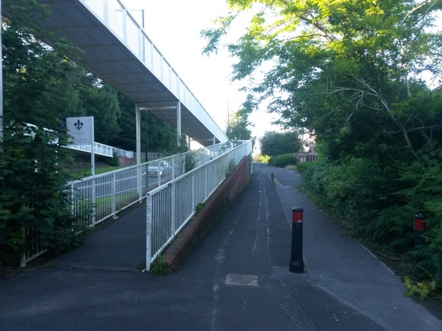
Image: © Chris Downer Taken: 3 Jul 2016
The bridleway takes the historical route of Boundary Road, alongside the present-day A347 called Boundary Road. The footbridge crosses the latter. See Image for more discussion on the history of the route. The path, both ahead and behind, becomes a service road linking the parallel side-roads that would have ended on the track that Boundary Road once was. See Image for the next view along the bridleway ahead, with links to further photos all along the route, and Image for the view behind us to its southern end.
Images are licensed for reuse under creativecommons.org/licenses/by-sa/2.0
Image Location
Latitude
50.743665
Longitude
-1.889825