Sneinton: Port Arthur Road
Introduction
The photograph on this page of Sneinton: Port Arthur Road by John Sutton as part of the Geograph project.
The Geograph project started in 2005 with the aim of publishing, organising and preserving representative images for every square kilometre of Great Britain, Ireland and the Isle of Man.

There are currently over 7.5m images from over 14,400 individuals and you can help contribute to the project by visiting https://www.geograph.org.uk
Sneinton: Port Arthur Road
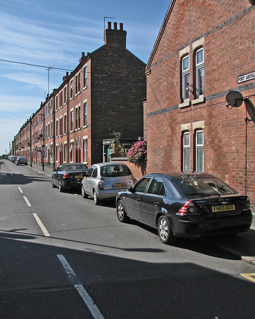
Image: © John Sutton Taken: 4 Jul 2016
Typical late-Victorian three-storey terraces on a street which links Sneinton Dale and Colwick Road (ahead), photographed on a sunny July morning.
Images are licensed for reuse under creativecommons.org/licenses/by-sa/2.0
Image Location
Latitude
52.952792
Longitude
-1.123124