Skyline, tramway and canal
Introduction
The photograph on this page of Skyline, tramway and canal by John Sutton as part of the Geograph project.
The Geograph project started in 2005 with the aim of publishing, organising and preserving representative images for every square kilometre of Great Britain, Ireland and the Isle of Man.

There are currently over 7.5m images from over 14,400 individuals and you can help contribute to the project by visiting https://www.geograph.org.uk
Skyline, tramway and canal
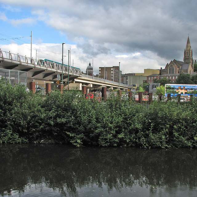
Image: © John Sutton Taken: 5 Jul 2016
A view towards the centre of the city from the canalside path, with the dome of the Council House to the left of centre and the former Unitarian Church on High Pavement to the right. A tram is approaching the Nottingham Station stop on a concrete viaduct which replaced the blue-brick arches which once carried trains on the Great Central line.
Images are licensed for reuse under creativecommons.org/licenses/by-sa/2.0
Image Location
Latitude
52.948998
Longitude
-1.145376