Junction of lanes near Kettle Hill Farm
Introduction
The photograph on this page of Junction of lanes near Kettle Hill Farm by Marathon as part of the Geograph project.
The Geograph project started in 2005 with the aim of publishing, organising and preserving representative images for every square kilometre of Great Britain, Ireland and the Isle of Man.

There are currently over 7.5m images from over 14,400 individuals and you can help contribute to the project by visiting https://www.geograph.org.uk
Junction of lanes near Kettle Hill Farm
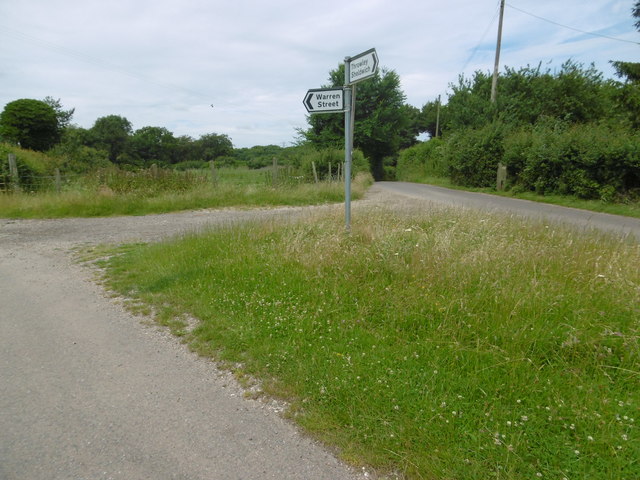
Image: © Marathon Taken: 7 Jul 2016
The unnamed lane to the left leads to Otterden Road and Otterden. This is the view from Kettle Hill Road. Kettle Hill follows round to the right.
Images are licensed for reuse under creativecommons.org/licenses/by-sa/2.0
Image Location
Latitude
51.264642
Longitude
0.817052