Redhill: start of descent on footpath O19
Introduction
The photograph on this page of Redhill: start of descent on footpath O19 by Chris Downer as part of the Geograph project.
The Geograph project started in 2005 with the aim of publishing, organising and preserving representative images for every square kilometre of Great Britain, Ireland and the Isle of Man.

There are currently over 7.5m images from over 14,400 individuals and you can help contribute to the project by visiting https://www.geograph.org.uk
Redhill: start of descent on footpath O19
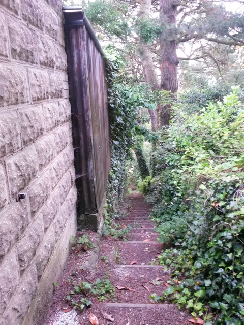
Image: © Chris Downer Taken: 6 Jul 2016
The Image to Sandy Way has recourse to steps as the gradient steepens alongside the back garden wall of the neighbouring house. It gets steeper, too: see Image for the next view along the path.
Images are licensed for reuse under creativecommons.org/licenses/by-sa/2.0
Image Location
Latitude
50.761639
Longitude
-1.878299