Bournemouth: roadworks by The Square
Introduction
The photograph on this page of Bournemouth: roadworks by The Square by Chris Downer as part of the Geograph project.
The Geograph project started in 2005 with the aim of publishing, organising and preserving representative images for every square kilometre of Great Britain, Ireland and the Isle of Man.

There are currently over 7.5m images from over 14,400 individuals and you can help contribute to the project by visiting https://www.geograph.org.uk
Bournemouth: roadworks by The Square
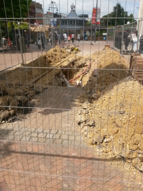
Image: © Chris Downer Taken: 6 Jul 2016
I say 'roadworks' - this isn't the road, of course. The wide pavement outside the NatWest (Image]) has been dug up and the hole fenced off. The Square itself is in the background.
Images are licensed for reuse under creativecommons.org/licenses/by-sa/2.0
Image Location
Latitude
50.720184
Longitude
-1.879256