The Trans Pennine Trail near Centenary Way
Introduction
The photograph on this page of The Trans Pennine Trail near Centenary Way by Jonathan Clitheroe as part of the Geograph project.
The Geograph project started in 2005 with the aim of publishing, organising and preserving representative images for every square kilometre of Great Britain, Ireland and the Isle of Man.

There are currently over 7.5m images from over 14,400 individuals and you can help contribute to the project by visiting https://www.geograph.org.uk
The Trans Pennine Trail near Centenary Way
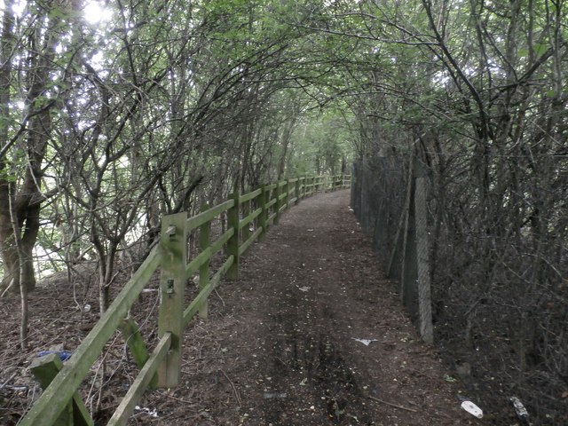
Image: © Jonathan Clitheroe Taken: 4 Jul 2016
This isn't a particularly scenic section of the trail. Heavy vegetation (including the usual invasive suspects) blocks access to the river and high perimeter fences also separate the path from an industrial area on the right.
Images are licensed for reuse under creativecommons.org/licenses/by-sa/2.0
Image Location
Latitude
53.412038
Longitude
-1.362393