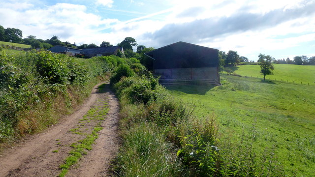
Lane at Dan-y-bwlch
Introduction
The photograph on this page of Lane at Dan-y-bwlch by Jonathan Billinger as part of the Geograph project.
The Geograph project started in 2005 with the aim of publishing, organising and preserving representative images for every square kilometre of Great Britain, Ireland and the Isle of Man.
There are currently over 7.5m images from over 14,400 individuals and you can help contribute to the project by visiting https://www.geograph.org.uk

Image: © Jonathan Billinger Taken: 5 Jul 2016
Looking east towards the farm. The road is pretty poor here and gets worse as it descends to the Cwmyoy road. Older mapping (which I have) indicates a yellow driveable lane. Later published maps show it as white lane. There is a sign at the bottom of the hill 'Unsuitable For Motors', but I didn't see one at the Dan-y-bwlch end. There is, however, a gate which I let myself through. The lane was just passable in my small car, but I'm glad I was going downhill. See Phil's Image and I can put paid to speculation; don't try to drive up here.

