Former road at Warden Point
Introduction
The photograph on this page of Former road at Warden Point by Marathon as part of the Geograph project.
The Geograph project started in 2005 with the aim of publishing, organising and preserving representative images for every square kilometre of Great Britain, Ireland and the Isle of Man.

There are currently over 7.5m images from over 14,400 individuals and you can help contribute to the project by visiting https://www.geograph.org.uk
Former road at Warden Point
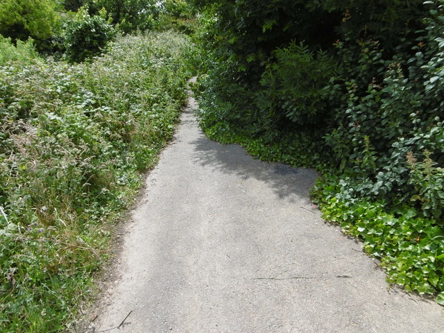
Image: © Marathon Taken: 3 Jul 2016
The road is marked brown on the Ordnance Map so it was quite important once but just before it reaches the edge of the cliff at Warden Point, behind where I am standing, it disappears into the void. For the view at the cliff edge see http://www.geograph.org.uk/photo/5020391
Images are licensed for reuse under creativecommons.org/licenses/by-sa/2.0
Image Location
Latitude
51.41508
Longitude
0.899507