Priory Road housing
Introduction
The photograph on this page of Priory Road housing by Martin Dawes as part of the Geograph project.
The Geograph project started in 2005 with the aim of publishing, organising and preserving representative images for every square kilometre of Great Britain, Ireland and the Isle of Man.

There are currently over 7.5m images from over 14,400 individuals and you can help contribute to the project by visiting https://www.geograph.org.uk
Priory Road housing
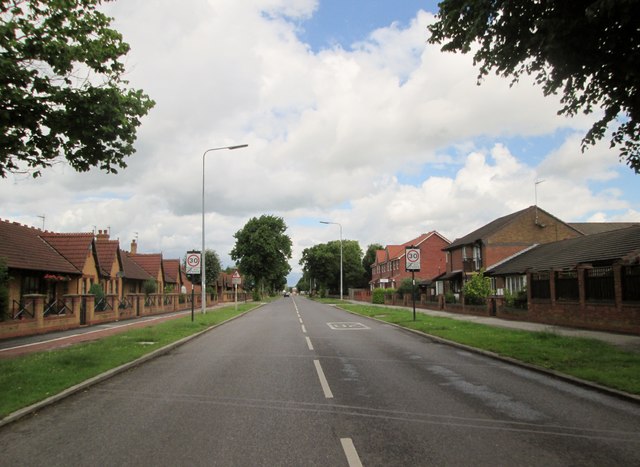
Image: © Martin Dawes Taken: 1 Jul 2016
Soon to be open fields prior to Cottingham
Images are licensed for reuse under creativecommons.org/licenses/by-sa/2.0
Image Location
Latitude
53.763881
Longitude
-0.4021