Coast Road Cycleway near the Corner House, Newcastle upon Tyne
Introduction
The photograph on this page of Coast Road Cycleway near the Corner House, Newcastle upon Tyne by Andrew Tryon as part of the Geograph project.
The Geograph project started in 2005 with the aim of publishing, organising and preserving representative images for every square kilometre of Great Britain, Ireland and the Isle of Man.

There are currently over 7.5m images from over 14,400 individuals and you can help contribute to the project by visiting https://www.geograph.org.uk
Coast Road Cycleway near the Corner House, Newcastle upon Tyne
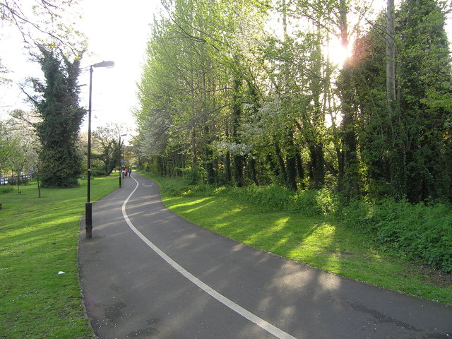
Image: © Andrew Tryon Taken: 2 May 2008
A segregated cycleway for the use of pedestrians and cyclists in the east end of Newcastle upon Tyne. This path, which follows the A1058 Coast Road is one of the main cycle routes into the city from the east.
Images are licensed for reuse under creativecommons.org/licenses/by-sa/2.0
Image Location
Latitude
54.991029
Longitude
-1.584869