Malmesbury Park: footpath C18 (and C20) arrives on Portchester Road
Introduction
The photograph on this page of Malmesbury Park: footpath C18 (and C20) arrives on Portchester Road by Chris Downer as part of the Geograph project.
The Geograph project started in 2005 with the aim of publishing, organising and preserving representative images for every square kilometre of Great Britain, Ireland and the Isle of Man.

There are currently over 7.5m images from over 14,400 individuals and you can help contribute to the project by visiting https://www.geograph.org.uk
Malmesbury Park: footpath C18 (and C20) arrives on Portchester Road
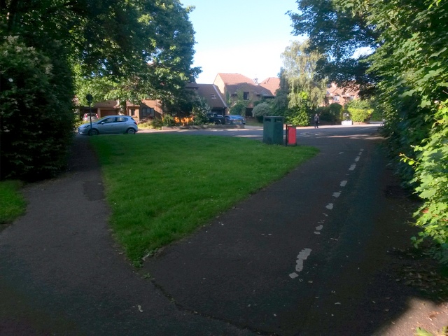
Image: © Chris Downer Taken: 3 Jul 2016
Looking along this public footpath, alongside the A338 Wessex Way which is to our right, as it reaches the Portchester Road dead end before continuing to the similar dead end of Ascham Road. Also, to our left, public footpath C20 cuts off the corner for those wishing to turn sharp left here. See: Image] for the view towards us on footpath C18 (right); Image for the view towards us on footpath C20 (left); and Image for the next view along the path behind us towards Wellington Road.
Images are licensed for reuse under creativecommons.org/licenses/by-sa/2.0
Image Location
Latitude
50.729159
Longitude
-1.863364