Horsham Road
Introduction
The photograph on this page of Horsham Road by Simon Carey as part of the Geograph project.
The Geograph project started in 2005 with the aim of publishing, organising and preserving representative images for every square kilometre of Great Britain, Ireland and the Isle of Man.

There are currently over 7.5m images from over 14,400 individuals and you can help contribute to the project by visiting https://www.geograph.org.uk
Horsham Road
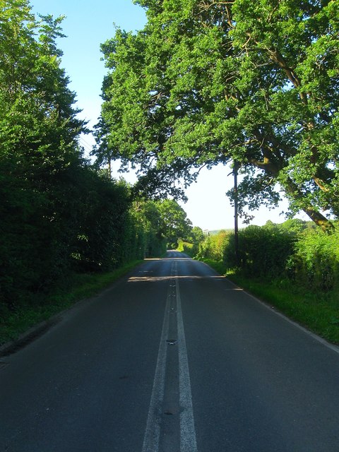
Image: © Simon Carey Taken: 2 Jul 2016
The B2135 viewed from near the junction with Wappingthron Farm Lane. The road connects Steyning to the A24 near Knepp Castle via Partridge Green. The route had been established by 1724 and was turnpiked in 1764 forming the main route from Steyning to London via Horsham and Dorking.
Images are licensed for reuse under creativecommons.org/licenses/by-sa/2.0
Image Location
Latitude
50.905717
Longitude
-0.331806