Walnut Tree Mead
Introduction
The photograph on this page of Walnut Tree Mead by Simon Carey as part of the Geograph project.
The Geograph project started in 2005 with the aim of publishing, organising and preserving representative images for every square kilometre of Great Britain, Ireland and the Isle of Man.

There are currently over 7.5m images from over 14,400 individuals and you can help contribute to the project by visiting https://www.geograph.org.uk
Walnut Tree Mead
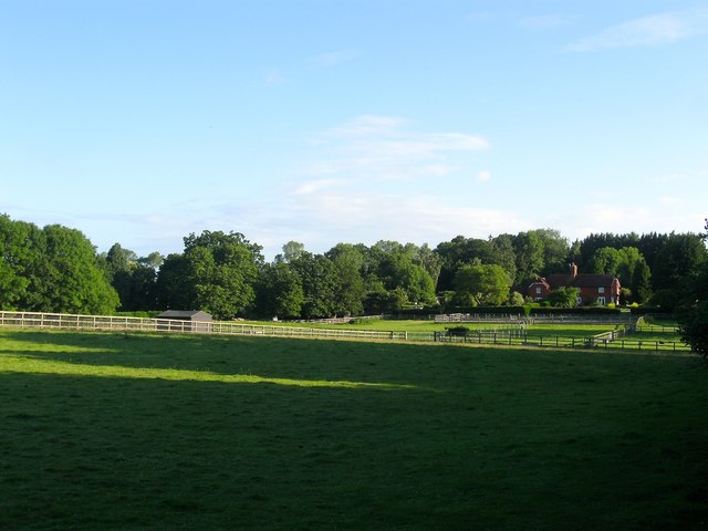
Image: © Simon Carey Taken: 2 Jul 2016
The name of the field according to Steyning's 1840 tithe map that has now been subdivided into a number of paddocks. The building at the northern end is a pair of semi-detached cottages; Garden Cottage and Downs View.
Images are licensed for reuse under creativecommons.org/licenses/by-sa/2.0
Image Location
Latitude
50.908509
Longitude
-0.338392