Parish centre, Esh Winning
Introduction
The photograph on this page of Parish centre, Esh Winning by Robert Graham as part of the Geograph project.
The Geograph project started in 2005 with the aim of publishing, organising and preserving representative images for every square kilometre of Great Britain, Ireland and the Isle of Man.

There are currently over 7.5m images from over 14,400 individuals and you can help contribute to the project by visiting https://www.geograph.org.uk
Parish centre, Esh Winning
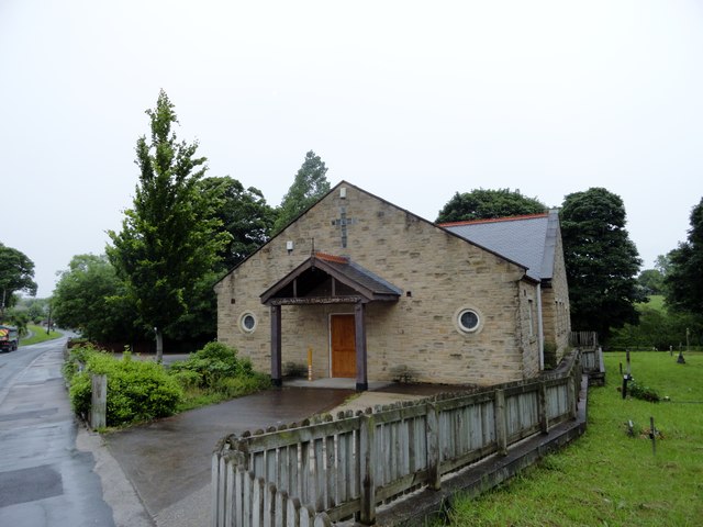
Image: © Robert Graham Taken: 29 Jun 2016
This is the parish hall for the nearby R C church of the Blessed Virgin Mary Queen of Martyrs. That is Victorian, but this is obviously a lot younger, late C20 probably.
Images are licensed for reuse under creativecommons.org/licenses/by-sa/2.0
Image Location
Latitude
54.774004
Longitude
-1.70679